
Picture of the Day
This blog chronicles the hikes I've completed in the "Lee 333 Challenge". I haven't set a challenge deadline because I can't dedicate myself 100% to it. However, if the SNAP500 (or SHEN500) can be done in one year, I don't see any reason why a dedicated enthusiast couldn't complete the "Lee 333" in under a year also.
Today's Hike:
Distance: 4.97
Duration: 2:53
Ascent: 725ft
PATC Difficulty: 84
Lee 333 Progress Summary:
Trails: 46 of 169
Trail Miles: 135.31 of 407.05 miles (271.74 miles to go)
Hiked Miles: 237.29 miles

Today's Track
For today's hike I wanted to go someplace I haven't explored yet so I picked this out of the way place in the Great North Mtn area. I'm not sure what TVA means on this map but I'm calling it the Upper Cedar Creek Trail. On the map above I turned back at the point in the lower left (red line). I looked for the trail leading off to the right from there but found nothing. In the other direction, the trail continues south and west and is named Cedar Creek. I'll have to explore that section on another day.

This picture has nothing to do with the hike. A small frog was on my deck that day and I liked it.

This is where I parked at the end of the forest road.

I'm calling this trail the Upper Cedar Creek trail

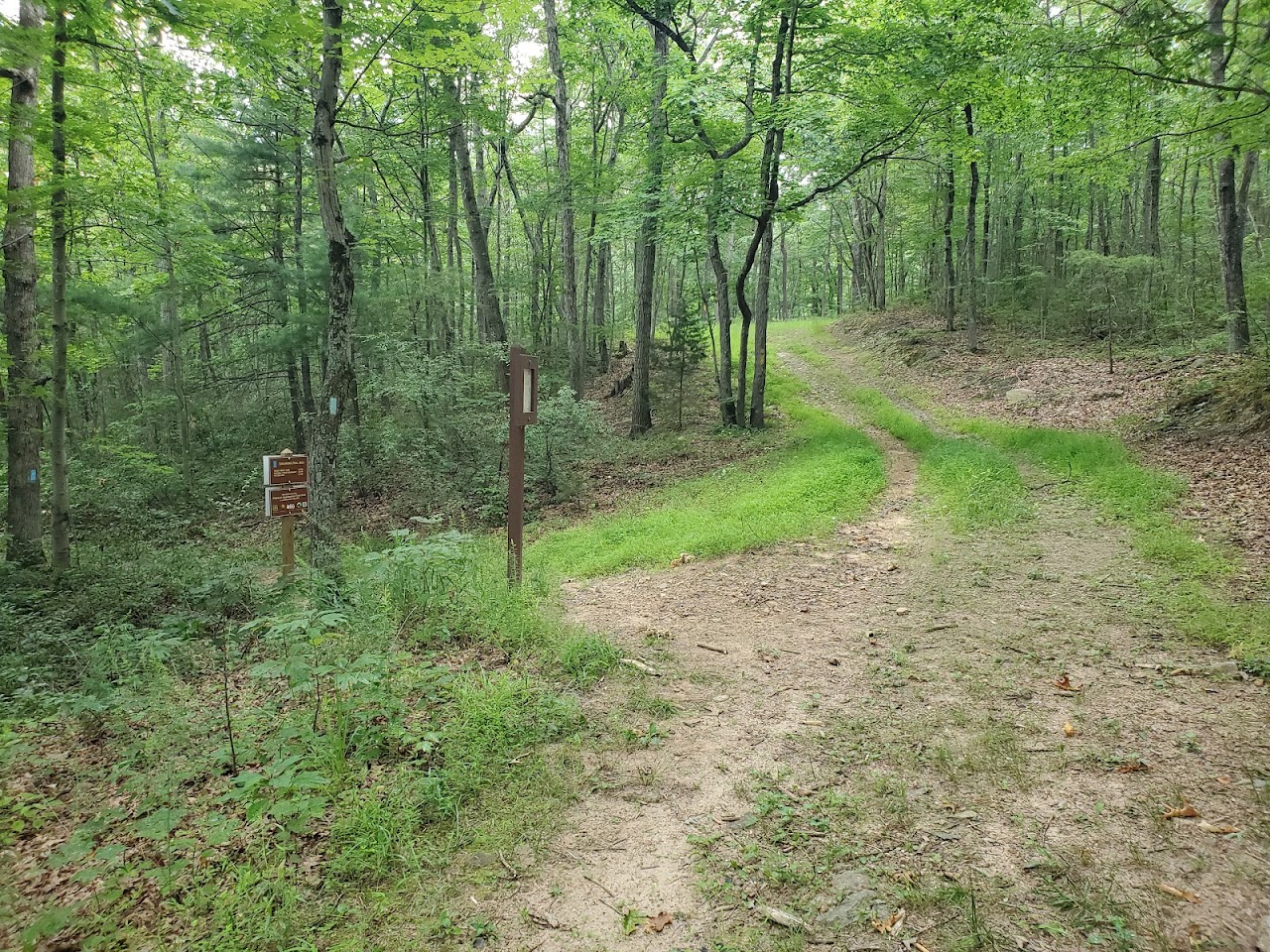
Trail sign just after the gate

Interesting and confusing, I'm where?

It was very hot and there were a lot of gnats

It was easy waking
The "Tusc Little North Mtn" trail crosses this trail (going south in this picture)

The "Tusc Little North Mtn" trail crosses this trail (going north in this picture)


I think this selfie tells the whole story of the heat and bugs.

A very lush and lovely trail, perhaps a winter or fall hike here would be better.

The weather report called for rain, I wish it had rained to cool me off but it cleared up instead.


There is a clearing ahead!

Looking back the way I'd come

The forest road ended here but the trail continued

Cedar Creek trail after the clearing
I continued south on the trail, it got rocky, narrow and windy before intersecting the Cedar Creek trail proper. Once there, I bushwhacked around for a while looking for another trail to make a loop back to the car on. No such luck, I returned that way I'd come.
Before getting back to the clearing, I heard something running through the woods right towards me from behind and to my left. It was so quick that I was really was startled. I turned and raised my trekking poles and yelled as loud as I could. It was almost upon me when it suddenly turned. Just for a second I thought is was bobcat. Then, as it ran off, I saw it was a fawn. I never saw it's mother or any reason why it was running down the hill at full speed.

Just when I thought the excitement was over, after I passed through the clearing and back on the forest road, this rattlesnake was sunning in the middle of the trail. I was only two steps away when I saw it. It must have just eaten because it was very big around and sluggish. I backed off, waiting for it to get off the trail. Then it spotted me and began to rattle. I moved back even more and waited. It crossed the road then crossed the road again before heading off into the woods in just the place where I though I might bushwhack to look for another trail. I abandoned that idea right then and stayed on the forest road and returned to the car.


