Thursday, June 18, 2020

April 23, 2020 - Lower Indian Grave Ridge Trails

Picture of the Day

    This blog chronicles the hikes I've completed in the "Lee 333 Challenge". I haven't set a challenge deadline because I can't dedicate myself 100% to it. However, if the SNAP500 (or SHEN500) can be done in one year, I don't see any reason why a dedicated enthusiast couldn't complete the "Lee 333" in under a year also.

Today's Hike:
Distance: 4.51
Duration: 2:56
Ascent: 822ft
PATC Difficulty: 86

Lee 333 Progress Summary:
Trails: 26 of 110
Trail Miles: 87.03 of 353.6 miles (266.57 miles to go)
Hiked Miles: 164.06 miles

 Today's Track

     Today's hike took me to a trail that I'm calling "Lower Indian Grave" because it's just across the street from Indian Grave Ridge Trail. The trail is off Page Valley road on the right.
Looking from the parking area back towards Page Valley Road

Looking east from the parking area

Fish and Wildlife Habitat Project Sign

The trail skirts a pine grove

The pine grove had been burned at the ground level but is recovering very nicely.

The remains of a house foundation

The remains of a house foundation

The trail re-enters the pine grove

Notice the charred base of the pines

Most of the area today was once burned out at the ground level

The burned area is recovering

 Wow!

     I headed from the parking area straight towards the Shenandoah river where I came to an amazing beach. Just as I got there, a beaver smacked the surface and startled me.

I'm definitely coming back to swim later this year

     I can't wait to return for a dip in the river on a warmer day.

Looking across a small narrow channel that forms an island in the South Fork

     Next I followed the trail north along the river then northwest along a thin branch of the river that created an island.

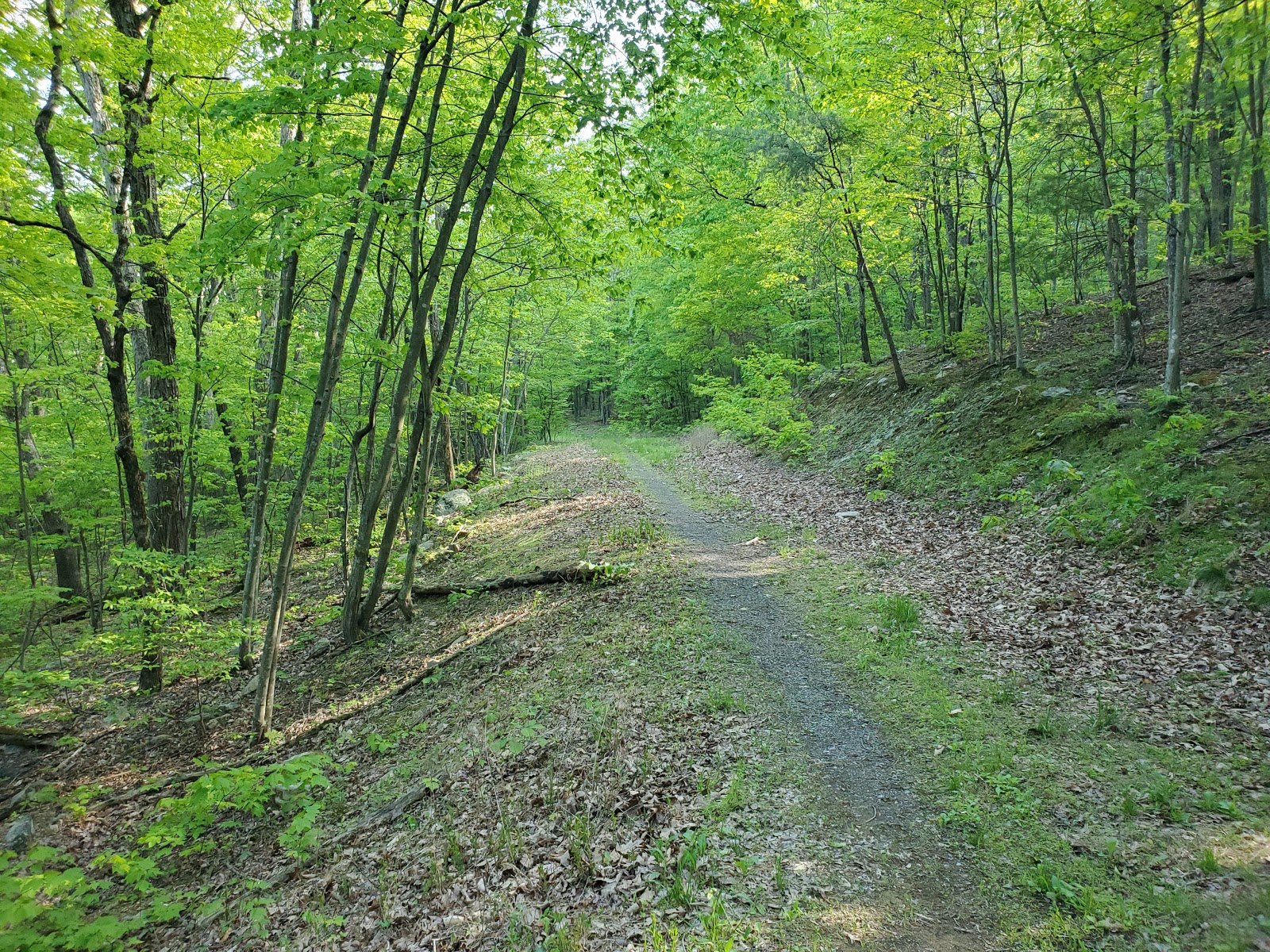
The trail is growing over but is still very evident and easy to follow

The trail follows the river bank

Then the trail strikes uphill back towards the ridge

    From there the trail headed uphill to the ridge. The last point of Indian Grave Ridge before the river. 
And climbs

Really this was the only climb of the day

Some of last year's Hen of the Woods

    At the top was an intersection, west towards Page Valley Road and east back towards the river. I followed the trail east until I intersected the trail I started on then retrace my path back to the ridge.

Wide and open hiking back on the ridge

A line of Strawberry plants in bloom

Heading back to Page Valley Road

Page Valley Road just ahead

From the ridge intersection I hiked west to Page Valley Road and from there I road walked back to the parking lot.

Looking back the way I'd just come

Dryads Saddle - a web search says "edible not not very good"

Dryad's Saddle

May 7, 2020 - Milford Gap East Old Section, Milford Gap Forest Road and Milford Gap South

Picture of the day

    This blog chronicles the hikes I've completed in the "Lee 333 Challenge". I haven't set a challenge deadline because I can't dedicate myself 100% to it. However, if the SNAP500 (or SHEN500) can be done in one year, I don't see any reason why a dedicated enthusiast couldn't complete the "Lee 333" in under a year also.

Today's Hike:
Distance: 6.72
Duration: 4:38
Ascent: 1285ft
PATC Difficulty: 131

Lee 333 Progress Summary:
Trails: 30 of 110
Trail Miles: 90.77 of 352.95 miles (262.18 miles to go)
Hiked Miles: 170.78 miles

Today's track


Today's hike started just off Page Valley Road at the Milford Gap Trail Parking (A on the map above).
I followed the trail up towards the ridge until I came to the Old Milford Gap Trail (B).
I turned right there, I followed the old section north and east down to the national forest boundary and private land with no public access (C).
Just before the forest boundary, an old logging trail (D) lead me south to an intersection with the Milford Gap Forest Road (E).
I did not take the Milford Gap Forest Road east as it again leads to private land with no public road access.
I followed the Milford Gap Forest Road south until I returned to the Milford Gap trail (F) where I headed back towards the parking area.
However, on a bend in the trail I noticed that there was a well defined trail leading south (G). 
I'm calling that Milford Gap South, although not on any of my maps, it was well defined and easy hiking on public land. 
I followed that trail all the way back to Page Valley road (H). From there I road walked back to the Milford Gap parking area (A).


Milford Gap Trail Parking (A)

Old Milford Gap Trail (B) back a few months ago WITHOUT the Wrong Way Sign

Old Milford Gap Trail (B) back a few months ago with the Wrong Way Sign

Looks like a nice crag to rock climb

The trail widens into an old road

A spring on the trail

JB marks his/her handiwork a second time

What a great day!

National Forest Boundary (C)

An old logging trail (D)

The trail looks fine here but ...

It begins to peter out and eventually is overgrown, 
I bushwhacked the last 200 yards to the Forest road

Milford Gap Forest Road (E) looking northeast towards the forest boundary

Milford Gap Forest Road (E) looking south towards the Milford Gap Trail

Wow, I could not have wished for a better day or trail


Creek goiing under the road, could have been from that spring I crossed earlier

More easy going

Intersection of Milford Gap Forest Road and Milford Gap Trail

Milford Gap South (G)

More Milford Gap South

Creek on Milford Gap South

Tree breaking down (see next pic)

And a widow maker hanging above (see last pic)


More Milford Gap South

Page Valley Road near Milford Gap South

Page Valley Road near Milford Gap South 

Back at Page Milford Gap Trail Parking (A)


April 20, 2024 - Cedar Creek Trail and part of Narrow Passage Road

Picture of the Day           This blog chronicles the hikes I've completed in the "Lee 333 Challenge". I named the challenge...