 Picture of the Day
This pond and spring are the source of Passage Creek.
Passage Creek runs the entire length of Fort Valley.
This blog chronicles the hikes I've completed in the "Lee 333 Challenge". I haven't set a challenge deadline because I can't dedicate myself 100% to it. However, if the SNAP500 (or SHEN500) can be done in one year, I don't see any reason why a dedicated enthusiast couldn't complete the "Lee 333" in under a year also.
I recently decided to include all the ATV trails in the challenge too. That raises the total mileage to almost 400 miles and affects the stats below and from this point onward. I guess I'll keep calling it the Lee333 until I have a real total number of miles and come up with a snappy name.
Today's Hike:
Distance: 4.29
Duration: 2:54
Ascent: 615ft
PATC Difficulty: 72
Lee 333 Progress Summary:
Trails: 41 of 165
Trail Miles: 124.13 of 400.56 miles (276.43 miles to go)
Hiked Miles: 204.47 miles
 Today's Track

Parking along Crisman Hollow Road
Today I wanted a short hike.I'd been looking at some old map over lays and saw that there was logging road extension of the Kern Trail that continued south along the ridge. After exploring by the car a bit I parked near what looked like an unmarked trail, it turned out to be a campsite.

Massanutten Trail at Crisman Hollow Road (west side)
Since
I was already out of the car I just walked south on Crisman Hollow Road
until I came to the Kern trail.

Massanutten Trail marker just off Crisman Hollow Road

Climbing up the short section of the Massanutten trail to Kern Ridge from Crisman Hollow Road

Massanutten Trail heading north on Kern Ridge

The abandon Kern Ridge trail heading south on Kern Ridge
I hiked up to the ridge and when the
trail turned north I bushwhacked my way south on a barely discernible
abandoned logging road.

Where is that old Kern Trail?

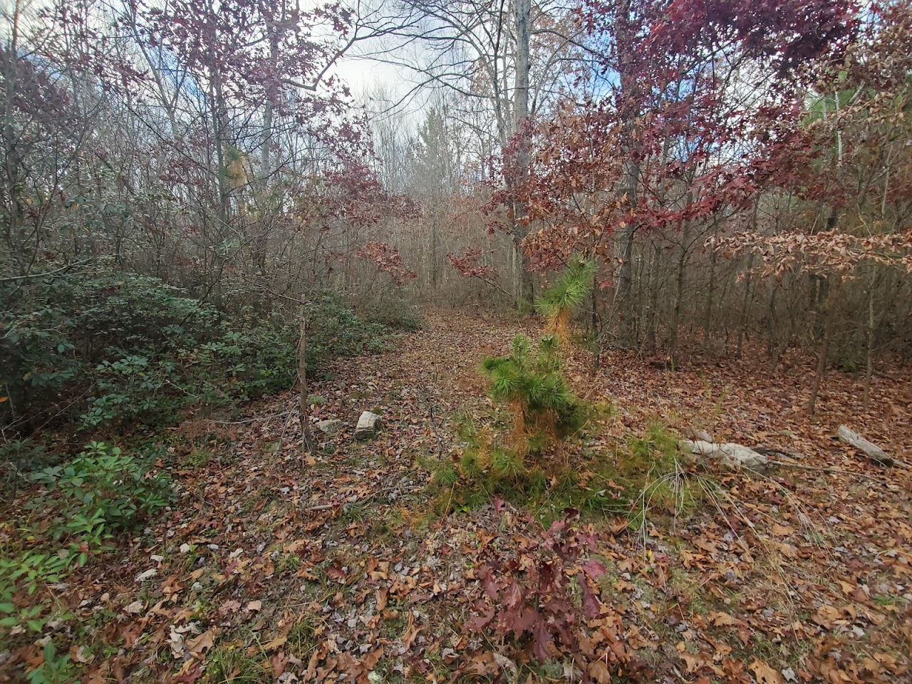
Old Kern Ridge trail is hard to make out in some places

Old Kern Ridge trail is easy to make out in some other places

Just keep to the ridge

This is as far as I went on Kern Ridge, the ridge started downhill after this point.
After a while the road/trail petered out and
began to go down hill. I turned back and edged by way back north again
this time angling off the east side of the ridge in the bush. I was
hoping to pick up another logging road on my map. I did not see it on my
way south.

Looking for the old logging road that goes back to Crisman Hollow Road.
I finally spotted it, looking up towards the ridge.

The old logging road, looking down towards Crisman Hollow road.
I soon intersected it heading straight down hill towards
Crisman Hollow Road.
 Where the logging road meets Crisman Hollow Road.
Once back on Crisman Hollow Road, I headed south
again looking for a 'trail' on my map overlay labeled storybook trail up
waterfall mountain. I explored around in the trees and stream a bit but
could find nothing. I think that trail never existed where it is on the
map. Some map makers include false roads and trails to insure that they
can defend their copyrights.

One last look up the old logging road from Crisman Hollow Road
Along Crisman Hollow Road
I found the old Massanutten Trail
I headed north on Crisman Hollow Road back
towards the car. I, by chance, picked out the old abandoned route of
the Massanutten Trail angling off to my right. Taking that turn I walked
on what was the best trail of the day, clear and level.
It was in pretty decent shape
Easy going, parallel to Crisman Hollow Road.
A trail back to the road from the pond?
Shallow but nice, too chilly for mosquitoes today.
I followed the old Massanutten Trail until I reached a small pond then again bushwhacked my way back to
Crisman Hollow Road then south back to the car.


 Picture of the Day
  Today's Track


