Sunday, March 29, 2020

February 23, 2020 - Tuscarora Trail from Powell's Fort Camp to Forest Road 66


Picture of the Day
Powell's Fort Camp Abandoned Pool

Today's Hike:
Distance: 8.11
Duration: 5:30
Ascent: 1540ft
PATC Difficulty: 158

Lee 333 Progress Summary:
Trails: 24 of 108
Trail Miles: 75.92 of 345.75 miles (269.83 miles to go)
Hiked Miles: 143.56 miles

Today's Track
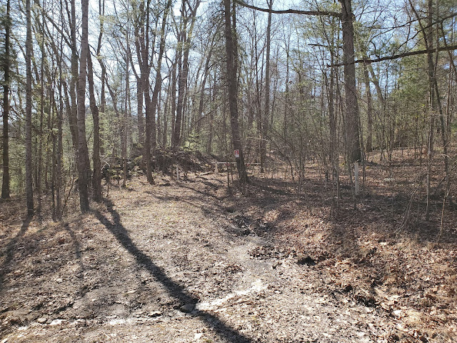
Entering Powell's Fort Camp

Various building are still standing


One such building, a cabin?

The inside

A pavilion

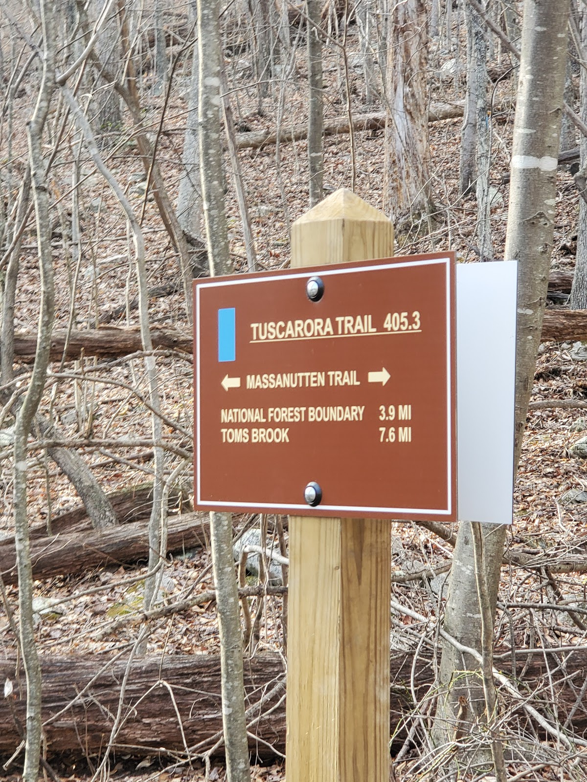
Massanutten trail intersection with FR 66


Climbing up to the ridge

The ridge insight

Ahhh, I made it.

Looking out over the valley

Found this cache box along the Tuscarora trail, nothing inside...

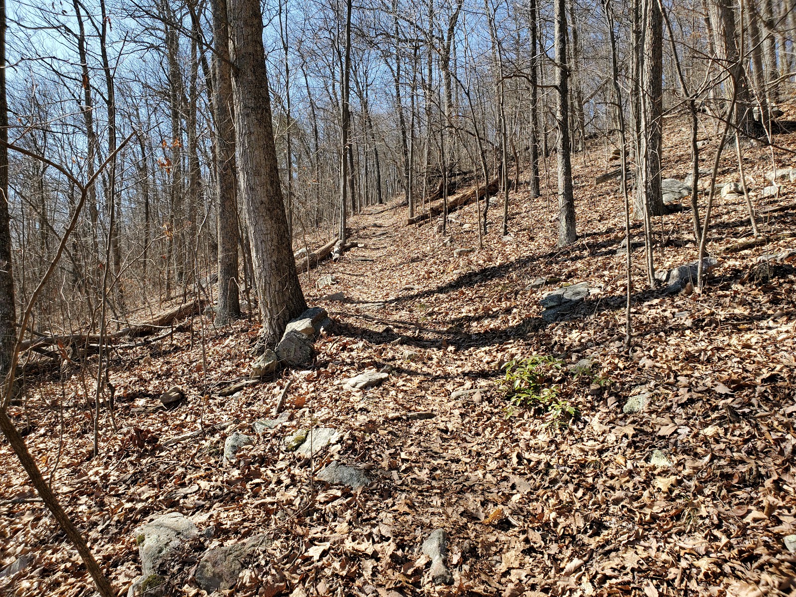
The trails gets rocky

The trail becomes more rocky

The trail becomes even more rocky

One of the 7 bends of the Shenandoah

Shenandoah

The ridge continues to get more and more rocky

Ditto

Ditto, Ditto


Tuscarora Intersection with FR 66 again

Took a nice long break here

The stream...uh I mean trail ...or Forest road or all three?

Strasburg Reservoir Looking South

Nice!

Clear water

Strasburg Reservoir Looking North

Intersection of FR 66 and Little Passage Creek Trail

Back to the parking lot at Powell's Fort

Done

Friday, March 27, 2020

March 24, 2020 - Papacito Pond, Elizebeth Furnace, Woodstock Tower, Massanutten and Sidewinder trails.


Picture of the Day
My Godson Cole

    This blog chronicles the hikes I've completed in the "Lee 333 Challenge". I haven't set a challenge deadline because I can't dedicate myself 100% to it. However, if the SNAP500 (or SHEN500) can be done in one year, I don't see any reason why a dedicated enthusiast couldn't complete the "Lee 333" in under a year also. I named this challenge after my initial calculation that the total trail mileage would be about 333 miles. The total has grown as I have become more familiar with the district.

Today's Hikes:
Distance: 7.35
Duration: 4:68
Ascent: 1349ft
PATC Difficulty: 141

Lee 333 Progress Summary:
Trails: 24 of 109
Trail Miles: 78.28 of 348.47 miles (270.19 miles to go)  
Hiked Miles: 135.45 miles

     Today my godson, Cole, accompanied me, we went on four short hikes rather than one long one. We are in the midst of the Corona Virus pandemic, so going out on seldom used trails was probably the best idea for today.

Hike #1 - A short hike at Elizabeth Furnace to jump on the cable bridge.

Our track at Elizabeth Furnace

Cole shaking the cable bridge

Cole shaking the cable bridge

Hike #2 - A hike to the Woodstock Fire Tower then north on the Massanutten Trail 
to the point that I finished on my last hike.

Our track at the Woodstock Fire Tower and the Massanutten Trail

Cole at the Woodstock Fire Tower

Cole at the Woodstock Fire Tower

Starting north on the Massanutten Trail from the Woodstock Fire Tower

Heading North on the Massanutten Trail

A view of the one of the "Seven Bends" of the Shenandoah River


Break Time for Lunch


Hike #3 - A hike to Papacito pond (Spanish for Daddy) on an ATV trail just down the east slope from the Woodstock Tower then continuing to the end of the road.

Our track at the Papacito pond just down the east slope from the Woodstock Tower

Papacito Pond Parking

Side trail to Papacito pond

Papacito Pond

Lots of mosquitoes at Papacito Pond

Lots of mosquitoes, they were too small to penetrate the skin

On the return hike...let the crazy walking style begin...


 See for your self :)

 
Resting before the return hike and a short rhyme

Hike #4 - A hike to finish up some minor segments of the Sidewinder trail the Mudhole Gap Forest Road that I'd missed on previous trips.

Our track on the the Sidewinder trail and Mudhole Gap Forest Road

Taking a break between hikes

On the trail again, heading up the Sidewinder trail

Looking back to the parking lot from the start of the Sidewinder trail

Monday, February 10, 2020

Feburary 8, 2020 - Mine Gap Trail to a Point of the Massanutten Trail (0.5 miles North of Woodstock Tower)


Picture of the Day
Left to Right, Manny, David (me), Bree and Marco

    This blog chronicles the hikes I've completed in the "Lee 333 Challenge". I haven't set a challenge deadline because I can't dedicate myself 100% to it. However, if the SNAP500 (or SHEN500) can be done in one year, I don't see any reason why a dedicated enthusiast couldn't complete the "Lee 333" in under a year also. I named this challenge after my initial calculation that the total trail mileage would be about 333 miles. The total has grown as I have become more familiar with the district.

Today's Hike:
Distance: 7.94
Duration: 4:59
Ascent: 2310ft
PATC Difficulty: 191

Lee 333 Progress Summary:
Trails: 23 of 108
Trail Miles: 66.25 of 345.75 miles (279.5 miles to go)
Hiked Miles: 135.45 miles

Today's Track

My Hiking Companions, Marco, Bree and Manny 
at the intersection of the Mine Gap and Massanutten trails

     This week I the pleasure of some hiking companions. I met Manny at the Apple House, I arrived first and immediately was approached by girl scouts on the sidewalk and asked to buy cookies. I donated money but didn't take any cookies. Manny arrived a few minutes later and we went inside. He bought the legendary "Apply House" cinnamon donuts and I bought "Blueberry Butter". I'm not sure what makes it 'butter' but it sure is good. When I went back outside the girl scouts asked me again to buy cookies. I asked them if they remembered me and they replied that they had just arrived, swapping the location with another girl scout troop. I just laughed and donated to them too.


Some ice/wood pulp cicles

     Manny and I drove out to Strasburg where we met Bree and Marco at the McDonald's. From there we took two cars out to the trailhead. We intended to hike from Powell's Fort Camp on FR66, up the Massanutten Trail to Tuscarora then north until we reached FR66 again. However, the gate to FR66 was closed again near the Mine Gap trail.

     I came up with and alternative hike plan, we parked at the FR66 gate and hiked up to the ridge via Mine Gap trail and headed south on the Massanutten trail intending to go all the way to the Woodstock tower.

I'm falling behind

     We made good time up to the ridge and headed south. It was a cool day but not hot with clear skies with only occasional clouds occluding the sun. The pace was relaxed as was the conversation. It was really nice to have people with me on this trip. After about two and a half hours we took a late lunch break. As we ate, a group of mountain bikers passes us going north, it looked like hard work.

Winter View of the "Seven Bends" of the Shenandoah River


    We continued south for another half an hour until we were about a half a mile from Woodstock Tower Road. After considering the time of day and what the total trip distance would be after the return hike we decided to head back. I'll return another day to complete that last half mile by starting at Woodstock Tower Road and going north.


Easy Ridge Hiking

    The hike back was uneventful except for our aching ankles and knees on the Mine Gap down hill section. I've build up my fitness again for distance but not for downhills yet. We almost missed one of the switchbacks at the "Old Mince Gap Trail". If it were not for the deep trenches dug in the old trail we might have just kept going. The two "kids" made it back to the cars well ahead of us two "old guys". They waited for us and we caravan-ed back to Strasburg together. Another great hiking day.

I guess the ridge was a bit too rocky for the trail in this section

Manny on the return trip